Geospatial Solutions
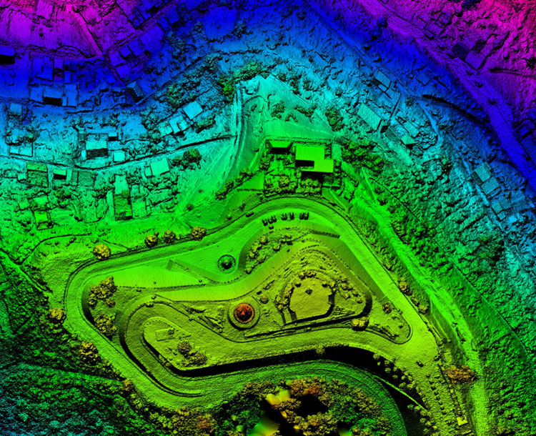
Houston Tech delivers cutting-edge geospatial solutions, leveraging advanced technologies in aerial imagery, digital cartography, and remote sensing to provide comprehensive insights and support for various industries. We specialize in transforming aerial data into detailed digital maps and models, essential for accurate planning and decision-making. Our services include creating and maintaining a historical digital image bank that offers valuable insights into geographical changes over time, aiding in environmental and urban planning.
We are pioneers in remote environmental monitoring, utilizing high-resolution imagery and data analytics to observe and predict environmental changes, crucial for sustainable management practices.
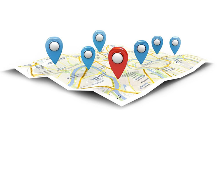
Our GPS-enabled navigation systems integrate seamlessly with digital and remote survey services, enhancing field operations with precise location tracking and data collection capabilities.
Our expertise extends to event simulation and disaster alert systems, where we use geospatial data to simulate potential scenarios and develop effective response strategies. This capability is vital for disaster preparedness and emergency response, ensuring communities can plan and react effectively to mitigate risks.
Additionally, our advanced town planning services utilize all these geospatial tools to design smarter, resilient urban environments that meet the needs of growing populations while preserving natural resources. With our comprehensive suite of geospatial solutions, we empower clients to achieve unparalleled accuracy and efficiency in their projects.

Other Services
Copyright © Houston Tech. All rights reserved | Developed by Smart Starr Global Synergy


